To main content

Maintenance dredging, Yangon River

Located close to the city centre on the Yangon River, Yangon Port has been the main port to Myanmar since colonial times. Currently, the port has capacity for vessels of up to 15,000 –20,000 DWT and works are scheduled to increase the port’s capacity for vessels up to 35,000 DWT.

Scope of work

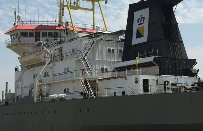
Boskalis mobilized from Indonesia the TSHD Cornelis Zanen with a hopper capacity of 8,600 m3. The channel was deepened to a minimum depth of 6 m CD over the full width of 100 m. In addition, the approach channel was widened to allow vessels more manoeuvring capabilities when entering the inner port.

Challenges

Tight timeline Dredging operations started immediately on the arrival of Cornelis Zanen, leaving limited time for project preparation. Working in close cooperation with the Myanmar Port Authorities and working with local subcontractors and suppliers, the Boskalis project team finalized the bathymetric riverbed survey measurement campaign within several days of signing the contract. River conditions Navigation from the pilot station 32 km seaward of Elephant Point is generally on the flood tide, and to ensure sufficient depth, crossing both the inner bar and outer bar is timed for high tide. The average tidal range is about 6 m at spring tide and 2.5 m at neap tide. While waves in the Yangon River do not hinder maritime operations, the current velocity of 4 to 6 knots at spring tide has to be controlled. As the channel width of 100 m at Monkey Point is relatively limited, navigation and particularly the dredging operations demanded close attention. Safety and cooperation with other parties The Boskalis No Incident and No Accident (NINA) safety program was implemented and within the short time period available, all parties were informed and were fully compliant with the high safety standard throughout the project. 

Conclusion

Boskalis completed the dredging works in compliance with the contract requirements and in partnership with the Myanmar Port Authority. The works were completed within the budget and the required time frame without accident, incident or spill.

Related projects

Selected filters
DSC04359_header.jpg

Port access channel dredging, Walvis Bay

The port of Walvis Bay is a naturally sheltered deepwater harbor on the west coast of Africa. The port is part of a transit route linking Southern Africa, Europe and the Americas and it is Namibia’s largest commercial port, handling around 5 million tons of cargo each year. The container terminal can accommodate a throughput of about 250,000 containers per year.

IMG_8772_header.jpg

Coastal protection, St. Petersburg

St. Petersburg is a UNESCO World Heritage City, but its location along the River Neva means that it has been threatened by over 300 floods since its founding by Peter the Great in 1703. The completion of the new 25 km long storm-surge barrier across the Gulf of Finland ensures that the city will no longer be vulnerable to high tides and devastating floods. As a result of the new Flood Protection Barrier, however, the old winding access channel had to be replaced with a new, straighter, more easily navigable channel.

Delflandse_coast___3__header.jpg

Coastal protection, Delfland coast

In August 2008 Van Oord and Royal Boskalis Westminster N.V. have been awarded a contract by the Dutch Directorate General for Public Works and Water Management to reinforce a weak link in the Delflandse coast . The contract is worth EUR 120 million of which Van Oord and Boskalis have an equal share.

IMG_1888_header.jpg

Cleanup, Zellingwijk area

The Zellingwijk quarter of the village of Gouderak was built in the middle of the last century. In the early 1980s it became clear that the soil underneath this residential area was heavily contaminated as a result of the dumping of waste - mainly mineral oils and pesticides. The homes built on the site were subsequently demolished in the mid-1980s. Pending definitive remediation work, a layer of concrete / asphalt was applied to seal the site.

DSCF0279_header.jpg

Overview activities, Bahrain

The Kingdom of Bahrain is an island located in the Gulf, east of Saudi Arabia and north of Qatar and connected with its neighbour Saudi Arabia since the year 1980 with a 25 km long causeway. The archipelago consists of some 30 islands with a total of 160 km of shoreline and has a population of 800,000. Whereas the surface of Bahrain in the year 1960 was around 650 km2, the last decennia have seen a steady increase in the surface till a respectable figure of 740 km2 in 2007. This increase has been achieved by a various number of small and mayor reclamation projects.

37ac96e429c252fd55f1136ce6374c9e_image_header.jpg

Early works for LNG plant, Brass Island

The Brass LNG Project’s objective is to construct a LNG Complex on Brass Island, Bayelsa State, Nigeria, and in so doing, develop Nigeria’s abundant gas resources, reduce the adverse effect of gas flaring on the environment, and provide social-economic benefits to the local and wider Nigerian communities. The LNG complex will be designed to produce approximately 10 million tons per annum (MTPA) of LNG, as well as LPG and Residual NGL products.